|
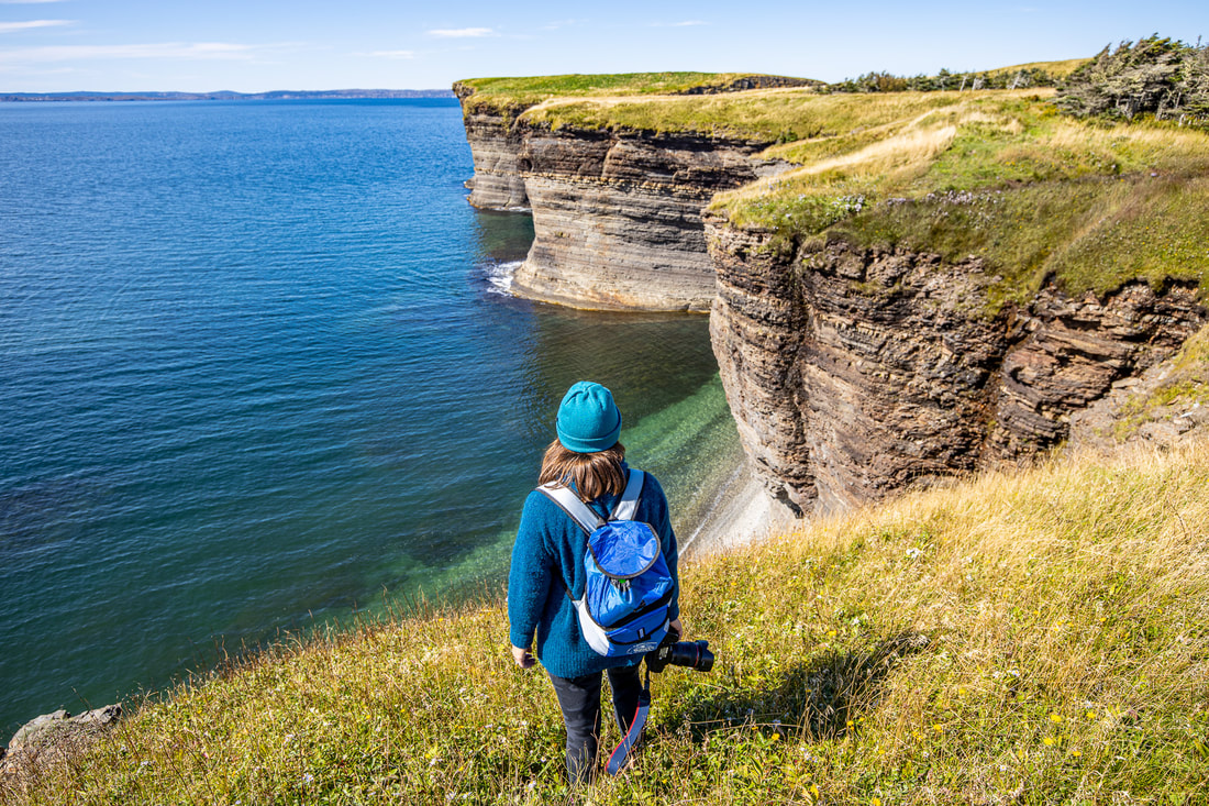
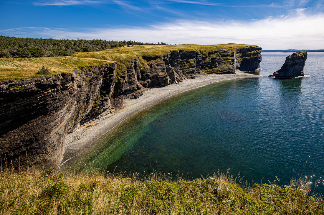
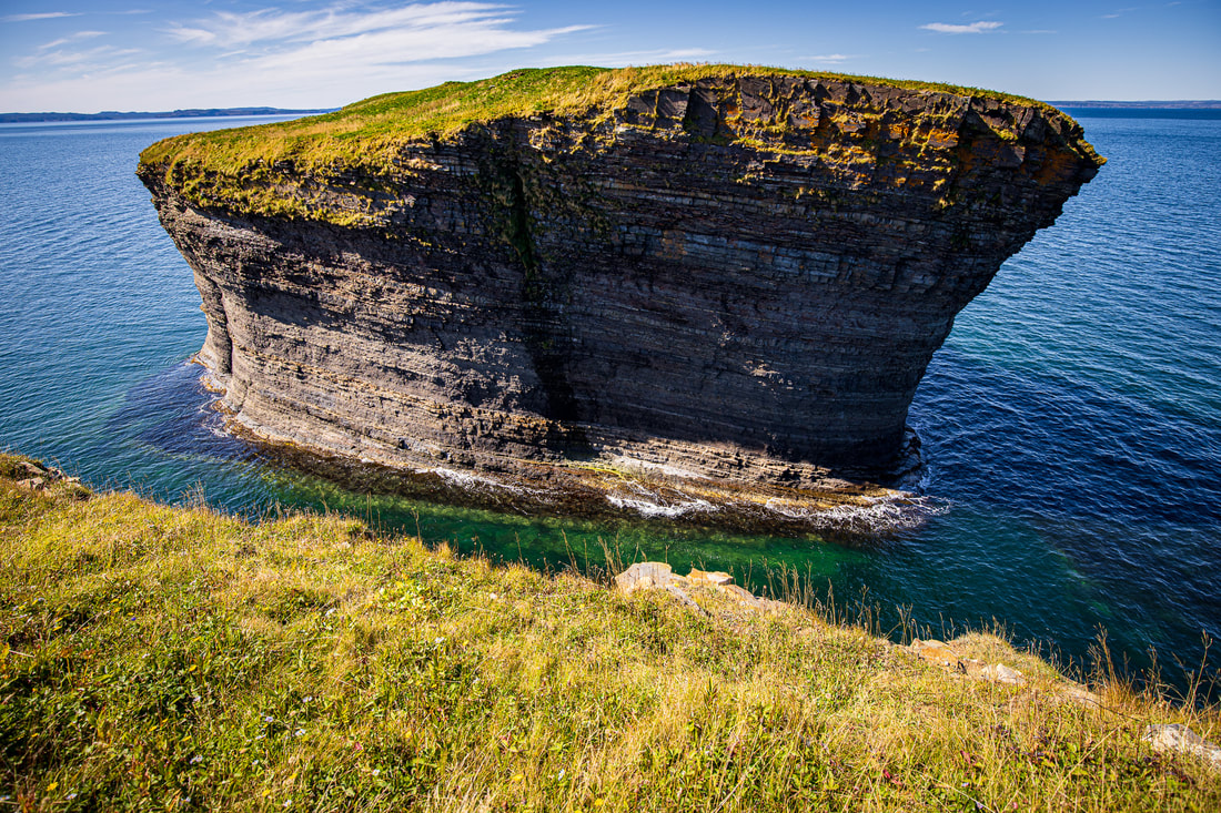
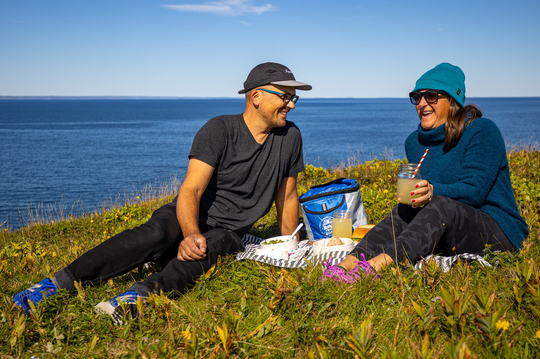
**This article was originally published on the Roots, Rants, and Roars website, 2020. Not all the original photos are available. Exploring the Island in the Bay The last time I visited Bell Island was a distant memory - over thirty years ago. It was long enough that I can not recall what I did nor where I went. Whatever it was, the memory didn’t stick with me. I was far too young to appreciate what it had to offer. For my wife Johanna, a resident of British Columbia, exploring most parts of Newfoundland is a new and exciting experience. I knew the beauty that the bay island possessed. I grew up across the water in Conception Bay South. Seldom trips in my father’s twenty foot skiff to the Belle’s shoreline left me in awe and wonderment. One hundred meter sheer shale cliffs with plenty of secret coves and the occasional cave was not seen on the docile shores of Manuels. Johanna and I jumped at the opportunity to explore Bell Island on the last day of summer. Coinciding with our island hike was the decision to bring along food and make the experience more memorable. We opted to take part in My Food Hike, a promotion by Roots, Rants and Roars that encourages people to share their hiking experience along with a trail side picnic. There are fifteen restaurants who are on board supplying packed lunches for us wandering souls. We chose the nice people at Rocket Bakery to fuel us on our hike. They offer a choice of kale & toasted almond salad, or, pasta & veggie salad with ranch dressing as a starter. The main consists of a chicken club with charred red onions and bacon, or, homemade hummus & veggie sandwich. Homemade lemonade and a ginger molasses cookie completes the meal. Everything is packaged into a Roots, Rants and Roars insulated backpack - yours to keep! In addition, RRR has supplied a hiking playlist and is available for download on Spotify. Directions Getting to the ferry terminal from almost anywhere is an easy task. In our case, twenty minutes from downtown St. John’s was all it took. Get on Portugal Cove Road from the city core and within minutes, you’re at the port. Taking the ferry is a painless excursion as well. We departed Portugal Cove on the ferry, Beaumont Hamel, and a twenty minute sailing (and several photos) later, arrived at our island destination. While on Bell Island, you can explore the area on it’s two main routes - Lance Cove Road and Middleton Avenue. Both run most of the length of the island. We chose to go along the southern shore from Memorial street, which turns into Nish Jackman drive, which then turns into Lance Cove Road. We came to the end of the route at a short dirt road called Bell Road. There we found two gated dirt paths which allowed us to reach the feature that gives the island its name - The Bell. Johanna and I chose the grassy trail that runs parallel to the cliff’s edge. On this approximately one kilometer path, you will think you’re on a different part of the planet. We didn’t get too close to the edge, but the views here are unrivalled almost anywhere. The drop is a straight down, one hundred meter fall to the rocky shore, so we kept back from the precipice. We can see part of the upside down bell in the distance. After meandering our way through tall grass, we arrive at our picnic site overlooking the almost surreal looking rocky outcropping. Rocket Bakery’s trail side meal offerings are refreshing and light, perfect for destination hiking. Great views and tasty food goes best with good company.
Wayne Parsons
0 Comments
Leave a Reply. |
Wayne Parsons
Documenting my experiences and travels through photography. Archives
June 2024
Categories |


 RSS Feed